Frost Advisory FROST ADVISORY - Runnemede, NJ

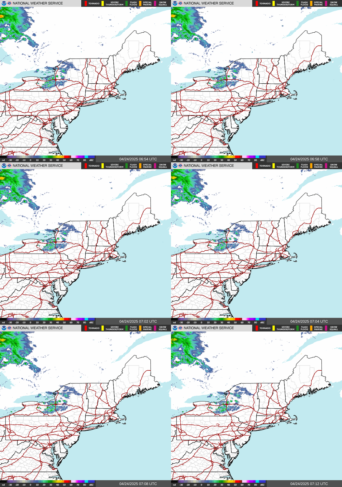
NWS Northeast Regional Radar WU North East Satellite
Radar/Satellite images courtesy of NOAA/NWS and Weather Underground.
spacer
METRIC | IMPERIAL
Updated: 31-Oct-2026 @ 6:30am   (0 sec ago)
Temperature Current Conditions Forecast / Storm Prediction
Currently Outside: Warmer 0.9°F than last hour.

48.9°F

Comfortable
High Today
55.0°F
12:00 AM
Low Today
46.9°F
4:01 AM
Yest High
73.0°F
1:01 PM
Yest Low
55.0°F
11:01 PM
Partly cloudy Partly cloudy

Calm Wind:  SW
0.0

Gusting to:
0.0 mph
Current Rain Rain:
0.00 in
Chandler Burning Index: LOW Current CBI
Fire Danger:
7.9 of 100
Today

Today: Sunny
Sunny
Tonight

Tonight: Partly Cloudy
Partly Cloudy
Sunday

Sunday: Partly Sunny
Partly Sunny
Hi 61°F Lo 39°F Hi 64°F
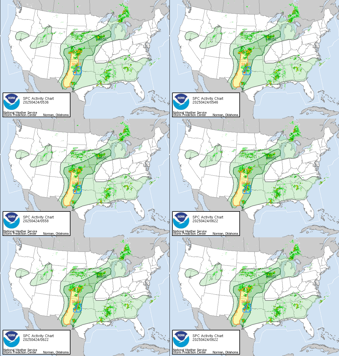
SPC Activity Map
Dew Point Liquid Precipitation Wind Speed Sun/Moon
Current: No Change 35.6°F
Last Hour: No Change +0.0°F
High 4:01 AM: 35.8°F
Low 12:00 AM: 34.6°F
Record High: 79.3°F on
29-Jul-2025
Record Low: -16.1°F on
24-Jan-2026
Wetbulb: 43.3°F
Today: 0.00 in
Yesterday: 0.00 in
Last 7 Days: 0.00 in
Oct Rain: 5.52 in
Season:1 43.45 in
Last Rain
Time/Date:
17-Oct-2026
at 7:00 AM
100 rain days in 2026
8 days in October
13 days since last rain
Current: SW  0.0 mph
1Hr Average: Calm
Wind Run: 21.04 miles
Wind Gust
Current: 0.0 mph
Today: 6.9 mph 5:01 PM
Month: 51.8 mph 16-Oct
Year: 69.0 mph 16-Mar
Record Gust: 69.0 mph
16-Mar-2026
Daylight:
Possible hours of Sunlight
10:31

-2:19
Min:Sec


Waning Gibbous
Waning Gibbous, 20 days, 18 hours, 45 minutes in cycle
66%
Illuminated
Humidity Barometer
Current: Decreased 2% since last hour. 60%
Last Hour: Decreased 2% since last hour. 2%
High 4:01 AM: 65%
Low 12:00 AM: 46%
Record High: 100%
31-Jul-2025
Record Low: 14%
14-Mar-2026
Current: Rising 0.03  inHg/hr 30.400 inHg
Last Hour: Rising
High 6:01 AM: 30.400
Low 12:00 AM: 30.320
Record High: 30.829 inHg
23-Jul-2025
Record Low: 24.563 inHg
22-Jul-2025
Heating Degree Days Tide Wind Chill Air
Today: 3.0
Oct: 138.4
2026 to Date: 2631.0
Cooling Degree Days
2026 to Date: 1472.4

Tide file 'tideprediction.html' not found.

Current: 48.9°F
Low 4:01 AM: 44.2°F
Yesterday: 55.0°F
Record: -11.2°F
8-Feb-2026
Quality
Index6:

29


Good
Density:
1.27 kg/m3
UV Summary/Forecast Solar Summary
Oct-31

3.0
Nov-01

2.9
Nov-02

2.6
Sunrise is at: 7:28 am
Solar Noon: 12:43
Sunset is at: 5:59 pm
Almanac   Station All Time Records Cloud Level
Currently: Early Morning
YTD Avg Temp: 60.2°F
Sunrise: 7:28 am
Sunset: 5:59 pm
Moonrise: 9:56 pm
Moonset: 1:28 pm
Full Moon: 26-Oct-2026
New Moon: 07:03 UTC
09-Nov-2026
HIGHS: LOWS:
102.0°F
2-Jul-2026
8.1°F
8-Feb-2026
Daytime Records
  97.2°F°F
29-Jul-2025
  14.0°F°F
08-Feb-2026
Nitetime Records
  90.5°F°F
03-Jul-2026
  10.4°F°F
08-Feb-2026
ICN:1 | S3C2:5 | Ajax 3.xx
ISS:Ok |
1 Rain season: Jan 1st to Dec 31st.   2 Snow season July 1st to June 30th.   3 Snow manually measured usually around 7AM and 7PM.   6 Air Quality Index is provided by Minnesota Polution Control Agency and is updated hourly between the hours of 6AM and Midnight.  
 NWS Weather Forecast  -   Outlook Today & Tonight
Today

Today: Sunny
Sunny

Hi 61°F
NWS forecast: Sunny, with a high near 61. North wind 5 to 10 mph.
Local station forecast: ---
Tonight

Tonight: Partly Cloudy
Partly Cloudy

Lo 39°F
NWS forecast: Partly cloudy, with a low around 39. Northwest wind 0 to 5 mph.
 NWS Short Term Weather Forecast
Sunday

Sunday: Partly Sunny
Partly Sunny
Sunday
Night
Sunday Night: Partly Cloudy
Partly Cloudy
Monday

Monday: Mostly Sunny
Mostly Sunny
Monday
Night
Monday Night: Partly Cloudy
Partly Cloudy
Tuesday

Tuesday: Mostly Sunny
Mostly Sunny
Tuesday
Night
Tuesday Night: Mostly Cloudy
Mostly Cloudy
Wednesday

Wednesday: Mostly Sunny
Mostly Sunny
Hi 64°F Lo 39°F Hi 66°F Lo 45°F Hi 70°F Lo 51°F Hi 72°F
ajax-dashboard6.php - Version 6.95h - 20-Feb-2023 - Script by: Scott of BurnsvilleWeatherLIVE.com
Now supported by Saratoga-weather.org Download